From a stairway up a mountain to a summer camp that changed lives, Mount Union's landmarks tell the town's story as clearly as any history book.
The Thousand Steps
Two miles west of town in Jacks Narrows, this hand-built stone stairway is now a beloved (and challenging) hiking destination — and a direct link to the quarrymen who built it.
PA Lions Beacon Lodge Camp
Founded by Carl Shoemaker for visually impaired campers, Beacon Lodge marked its 75th anniversary in 2023 and has grown to serve people with a wide range of disabilities — with many former campers returning as volunteers and staff.
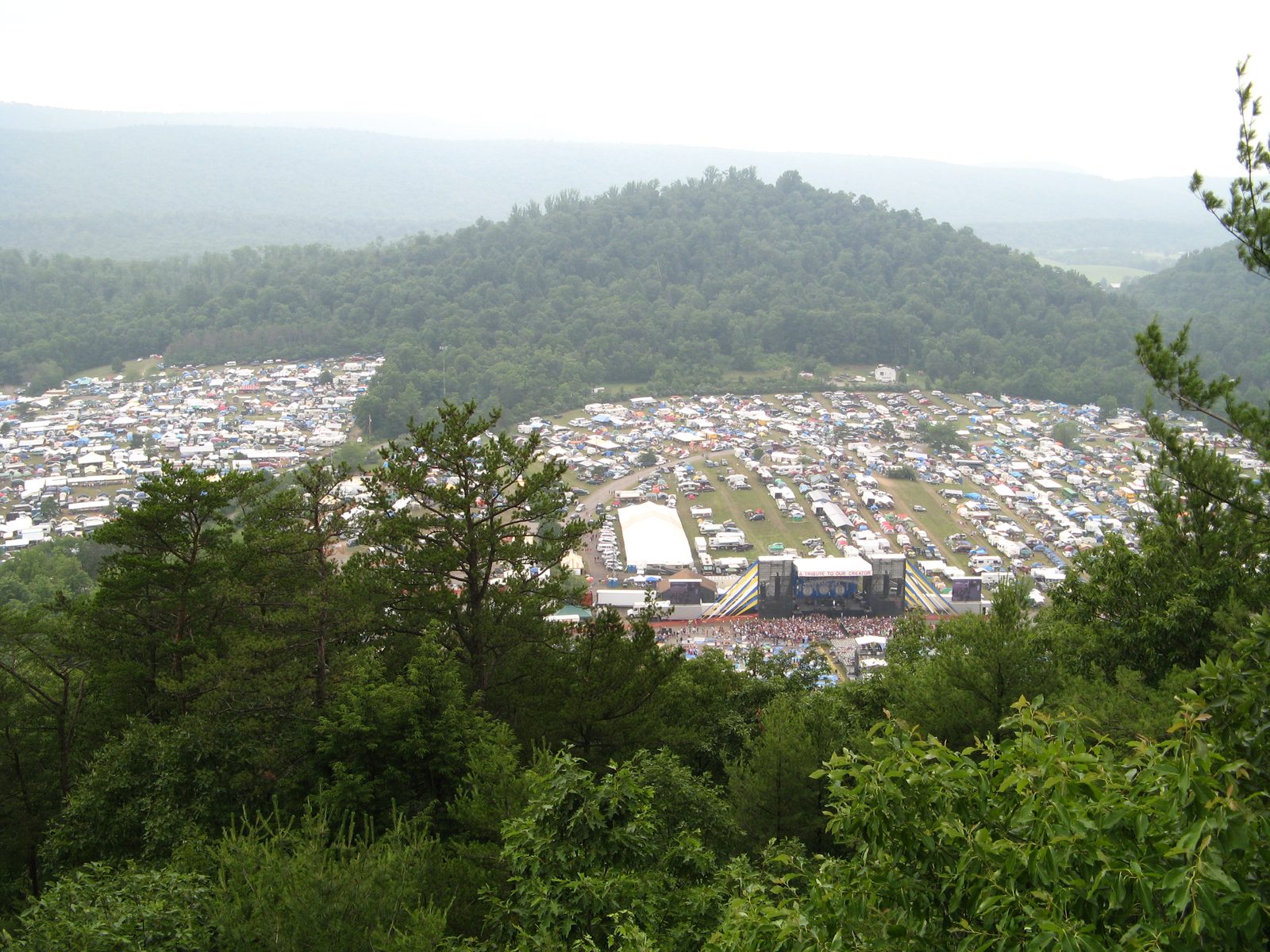
Creation Festival
For nearly four decades, tens of thousands of visitors — at times 50,000 to 100,000 — came to Mount Union each summer for one of the country's largest Christian music festivals, before it concluded in 2023.
Mount Union Cemetery & Victoria Park
Two quieter landmarks woven into the historic district. The cemetery was established in 1872 by the Independent Order of Odd Fellows in a grid layout; Victoria Park (1920), at Washington and Davis Streets, was the ball field home to the Harbison-Walker company baseball team (Mount Union Historic District, NRHP nomination, 1994).
Keeping History Alive
The Mount Union Area Historical Society, the Community Library, the Ministerium, and the Mount Union Area Partnership all work to preserve and celebrate the town's story — natural partners for this project.
Creation Festival, From the Mountainside
Inside the Mount Union Historic District
The National Register district covers over two-thirds of the borough — bounded by Jacks Mountain to the west, the Juniata River to the north, Chestnut Ridge to the east, and Hill Valley to the south. Of 645 properties surveyed, 576 (89.3%) are counted as contributing to its historic character. This section draws on the district's 1994 National Register nomination, prepared by Frederick L. Richards.
The Canal Era
The Pennsylvania Main Line Canal catalyzed the town's first real growth, centered on Water Street — called “Main Street” during the canal period.
The Railroad Era
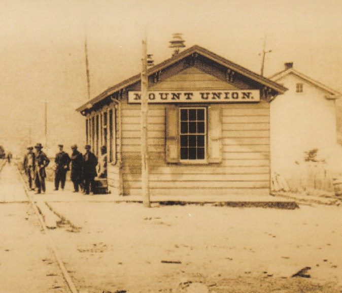
The Pennsylvania Railroad and, from 1873, the East Broad Top Railroad sustained the town's growth as a regional rail transfer point for iron and coal.
The Refractories Era
Three silica brick plants made Mount Union what the nomination calls “the silica brick capital” — see Bricktown USA for the full industrial story.
Notable Buildings, By Type
A sampling of the district's most distinctive structures, with the styles and dates the nomination assigns them.
John Shaver House
A large Federal-period stone house — the second-oldest surviving structure in the district.
John Sharrar House, Water St.
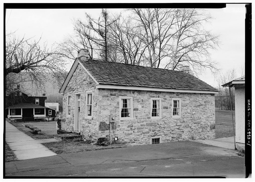
A stone, gable-front canal-era building that served as both store and dwelling — the oldest surviving commercial structure in town.
Welch Building
A yellow-brick, three-story building at Jefferson St. and Pennsylvania Ave. with storefronts and apartments.
St. Luke (Evangelical Lutheran)
A Gothic chapel with a Norman tower, at the southwest corner of Jefferson and Market Streets.
Presbyterian Church
A yellow-brick Romanesque design by architect J.L. Fulton of Uniontown, replacing the 1866-67 wood-frame meeting house.
St. Catherine of Siena
A basilica-plan Catholic church with Gothic detailing at Market and Washington Streets, built to serve Harbison-Walker's workforce.
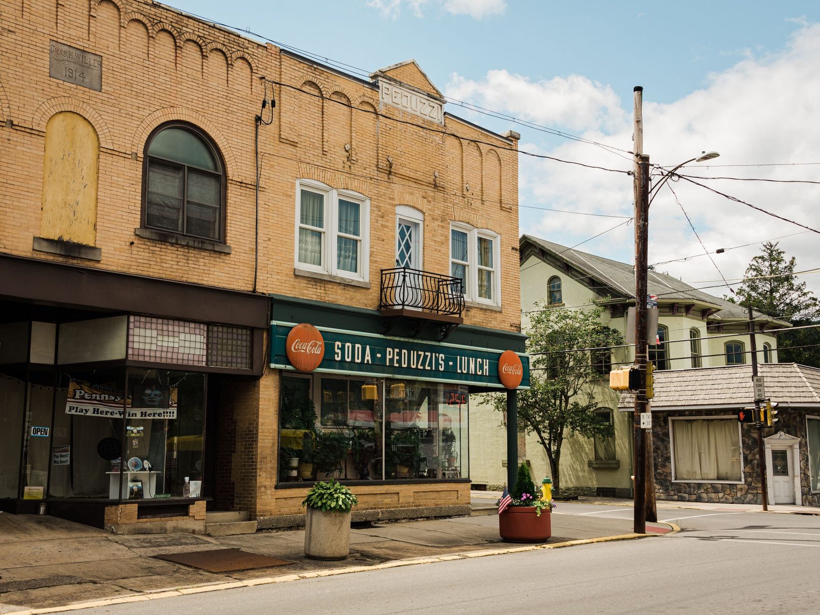
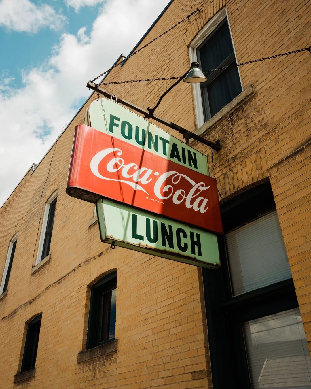
Peduzzi Building
A yellow-brick corner soda fountain and lunch counter with Romanesque detailing, built by Italian stonemason-turned-confectioner T.C. Peduzzi.
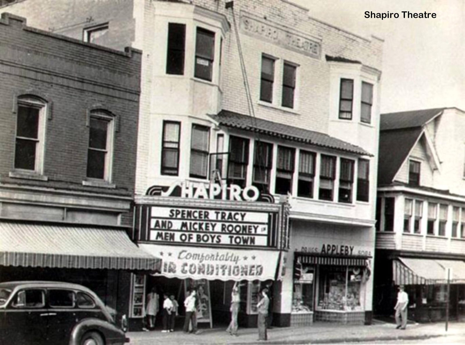
Shapiro Theater
A three-story brick, 1,000-seat theater on Shirley Street with an Art Moderne marquee — closed in 1970.
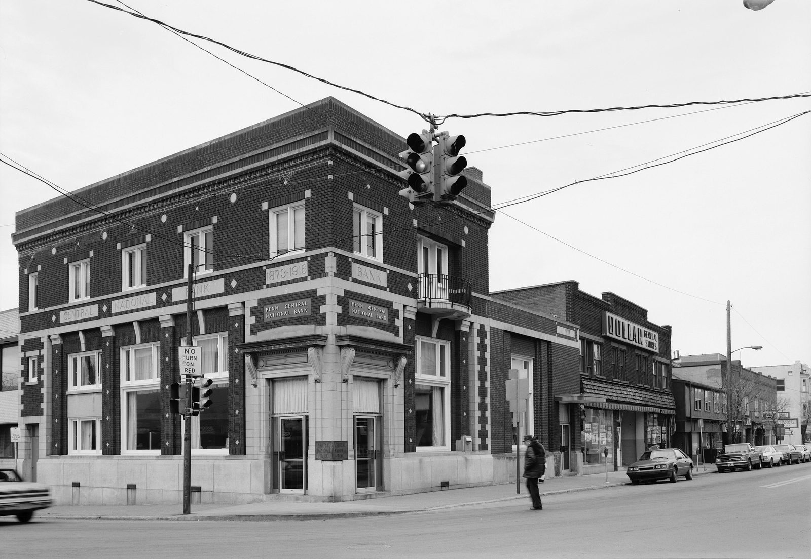
Penn Central National Bank
An Italian Renaissance Revival building — the third home of the bank founded in 1873 as the Central Banking Company (see Bricktown USA).
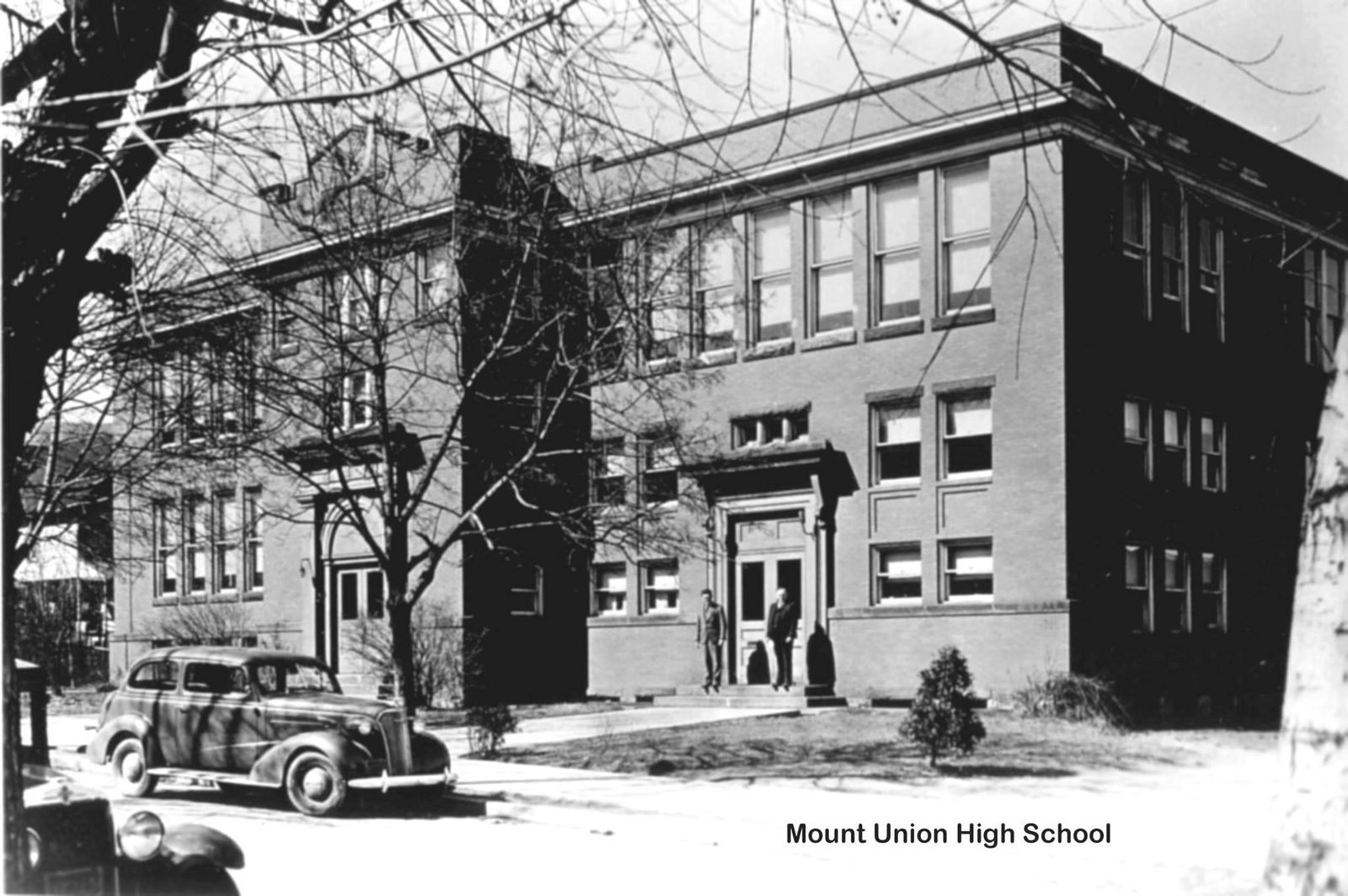
Mount Union Elementary School
A three-story brick school with Jacobean Gothic detailing, at the northwest corner of Division and Market Streets.
First United Methodist Church
An English Gothic building at 15-17 W. Shirley — the third Methodist church on this site (see Businesses for the congregation's earlier 1838-1873 history).
Post Office
A yellow-brick classical design by Philadelphia architect Louis Simon — home to Paul Rohland's Union of Mountains mural. See History.
Shapiro House, 59 E. Shirley St.
An Art Moderne design by H.C. Hodgens and A.D. Hill of Pittsburgh — “the only house of its type in Huntingdon County,” per the nomination.
PRR Freight Station
A two-story gable-front frame structure at Pennsylvania Ave. and Washington St., converted to a senior citizens' center in 1993.
Builders Who Shaped the Town
Allen S. Welch & Elmer D. Welch
Allen S. Welch (b. 1855) is credited with building at least 50 Mount Union homes, plus a lumber yard (1890), hardware store (1891), and planing mill (1909); he's also the man who laid out and named Allenport (see History) and was the father of Charles Howard Welch, author of this project's central 1909-1910 history. Elmer D. Welch (b. 1868) was a contractor credited with over 200 buildings between 1904 and 1910.
C.B. Crum & T.C. Peduzzi
C.B. Crum (b. 1860) was a successful merchant and concrete-block manufacturer whose own Queen Anne house (c. 1903) still stands at 33 W. Garber St. T.C. Peduzzi (b. 1867), an Italian stonemason turned confectioner, built the corner soda fountain that bears his name.
A Few of These Buildings, Photographed
The Juniata Valley Country Club & the “Colony Club”
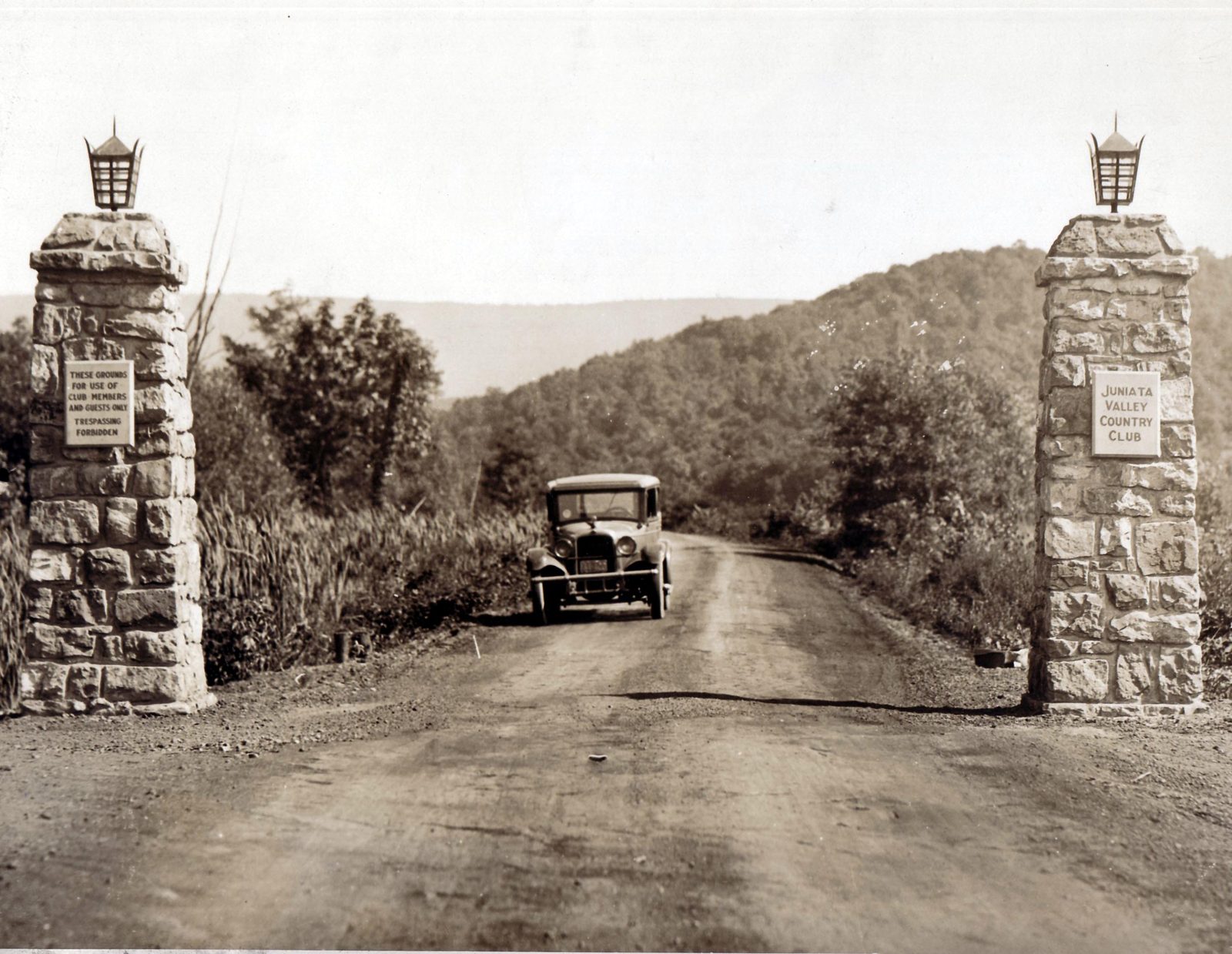
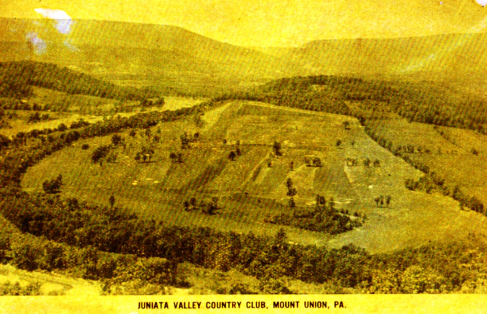
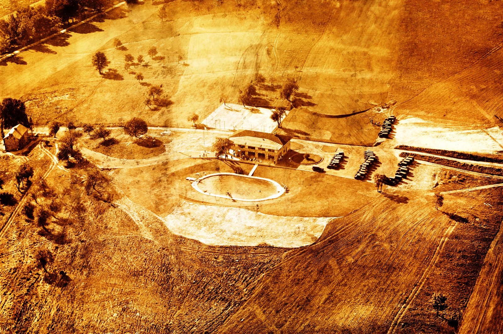
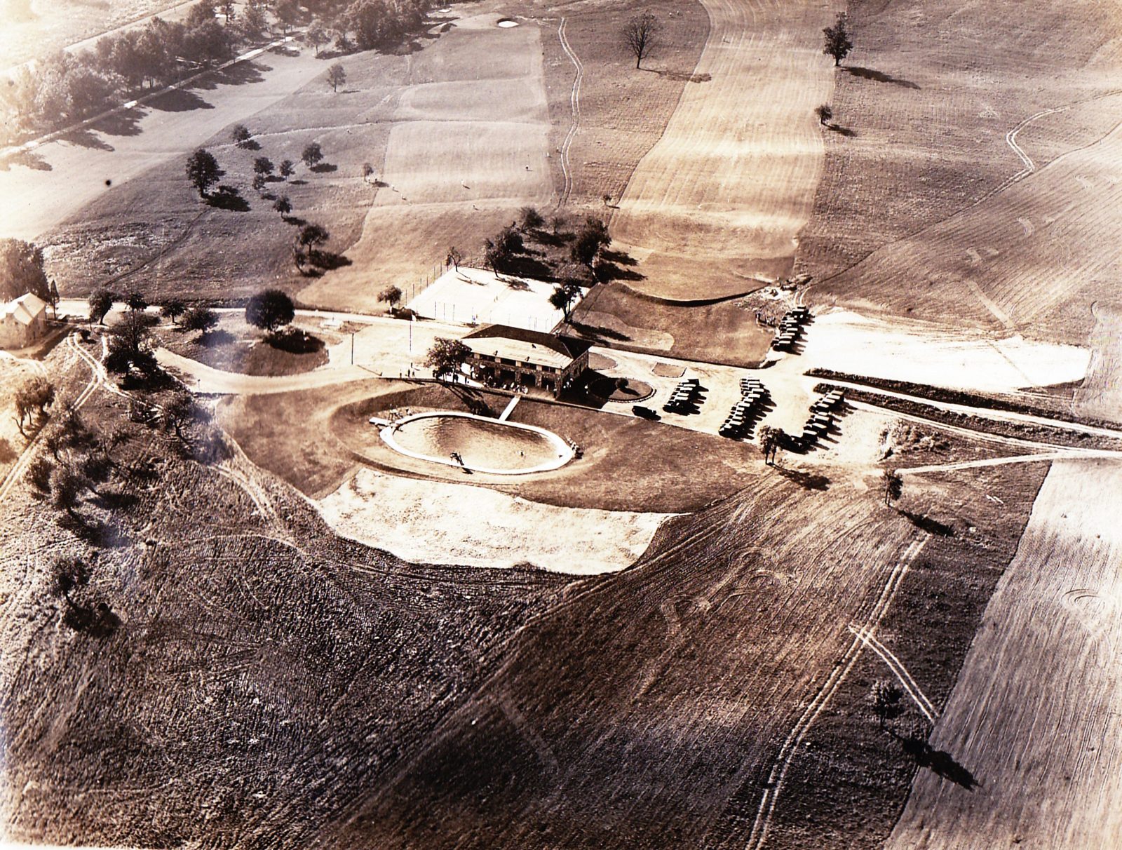
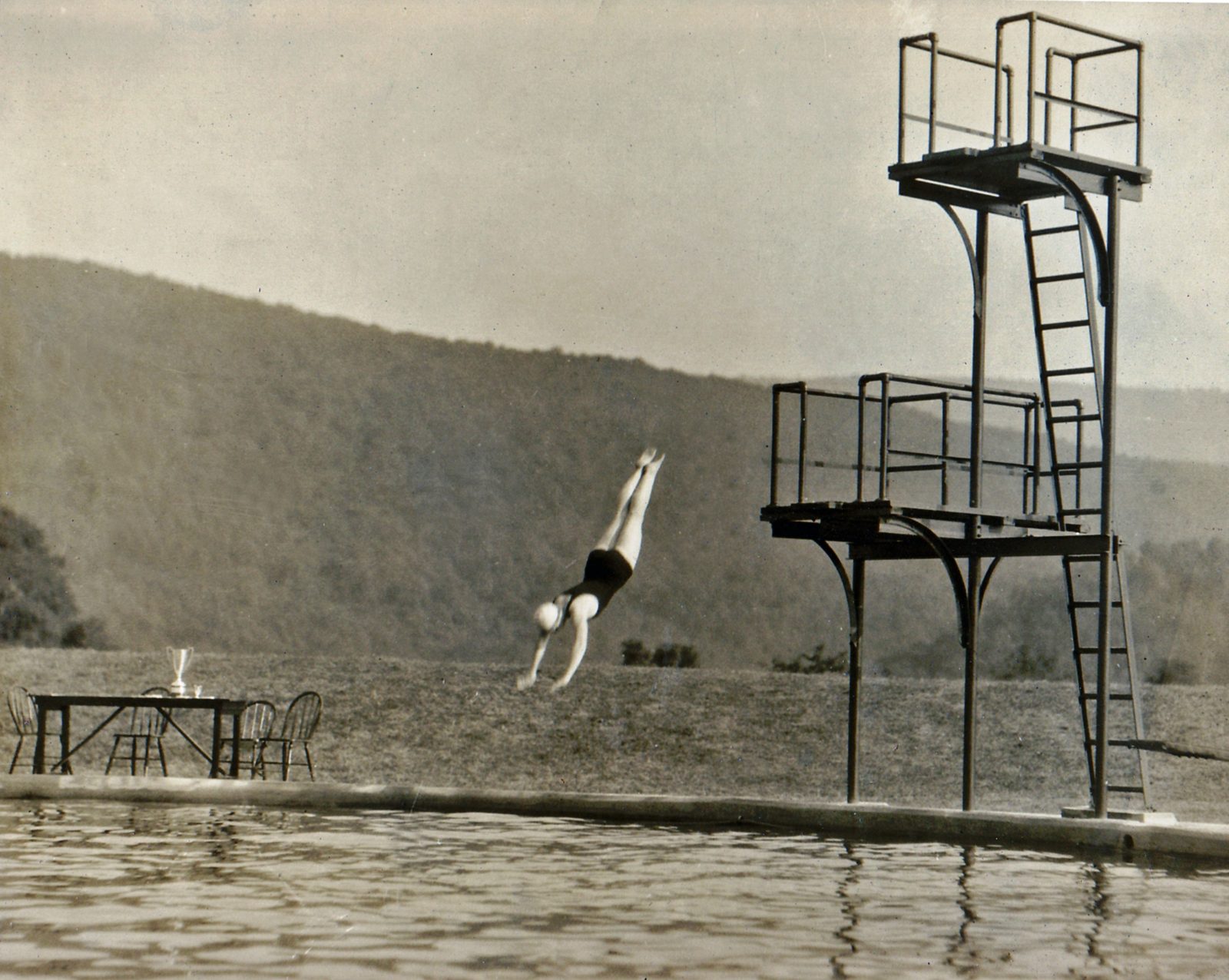
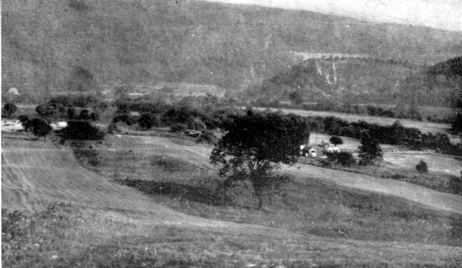
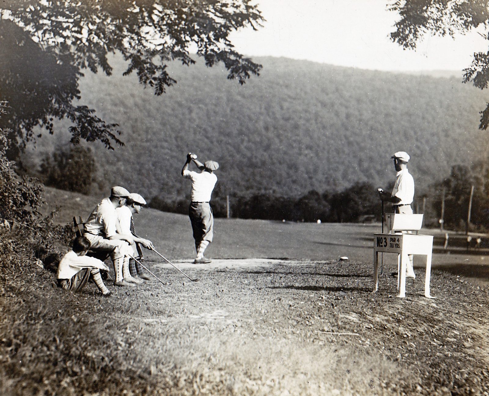
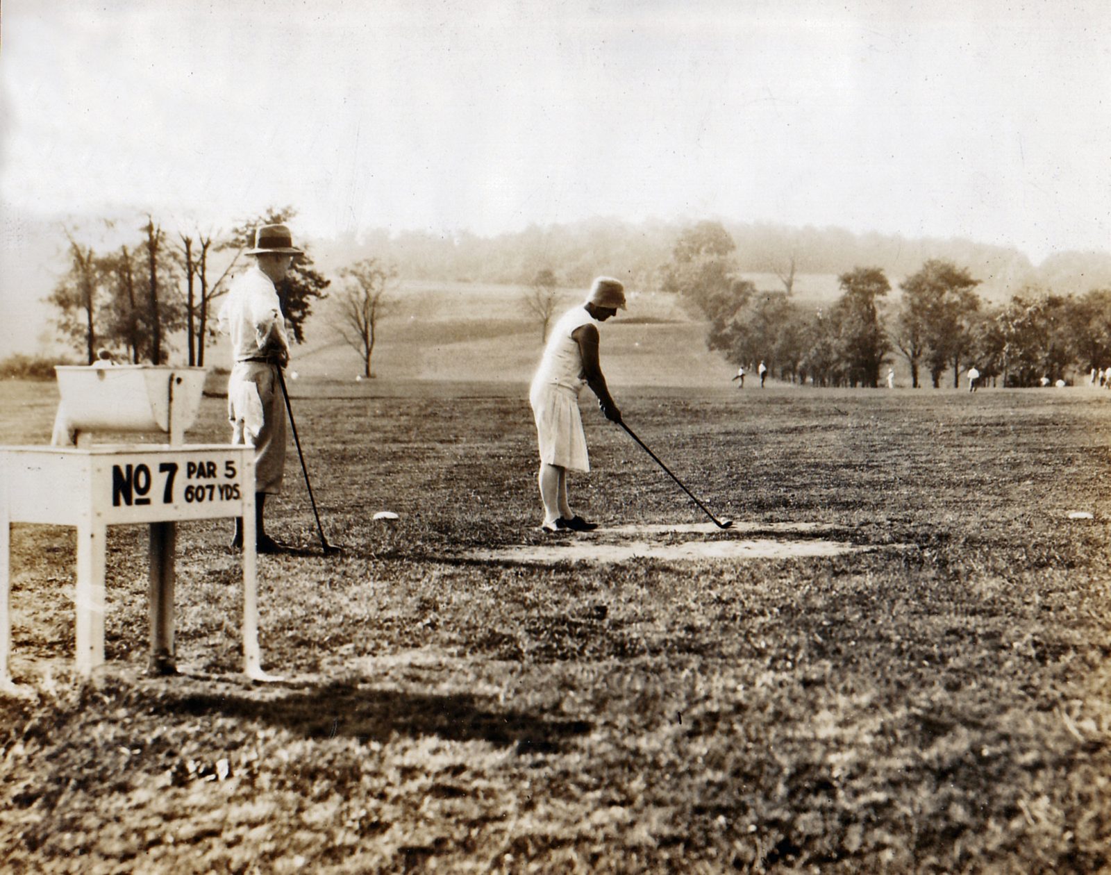
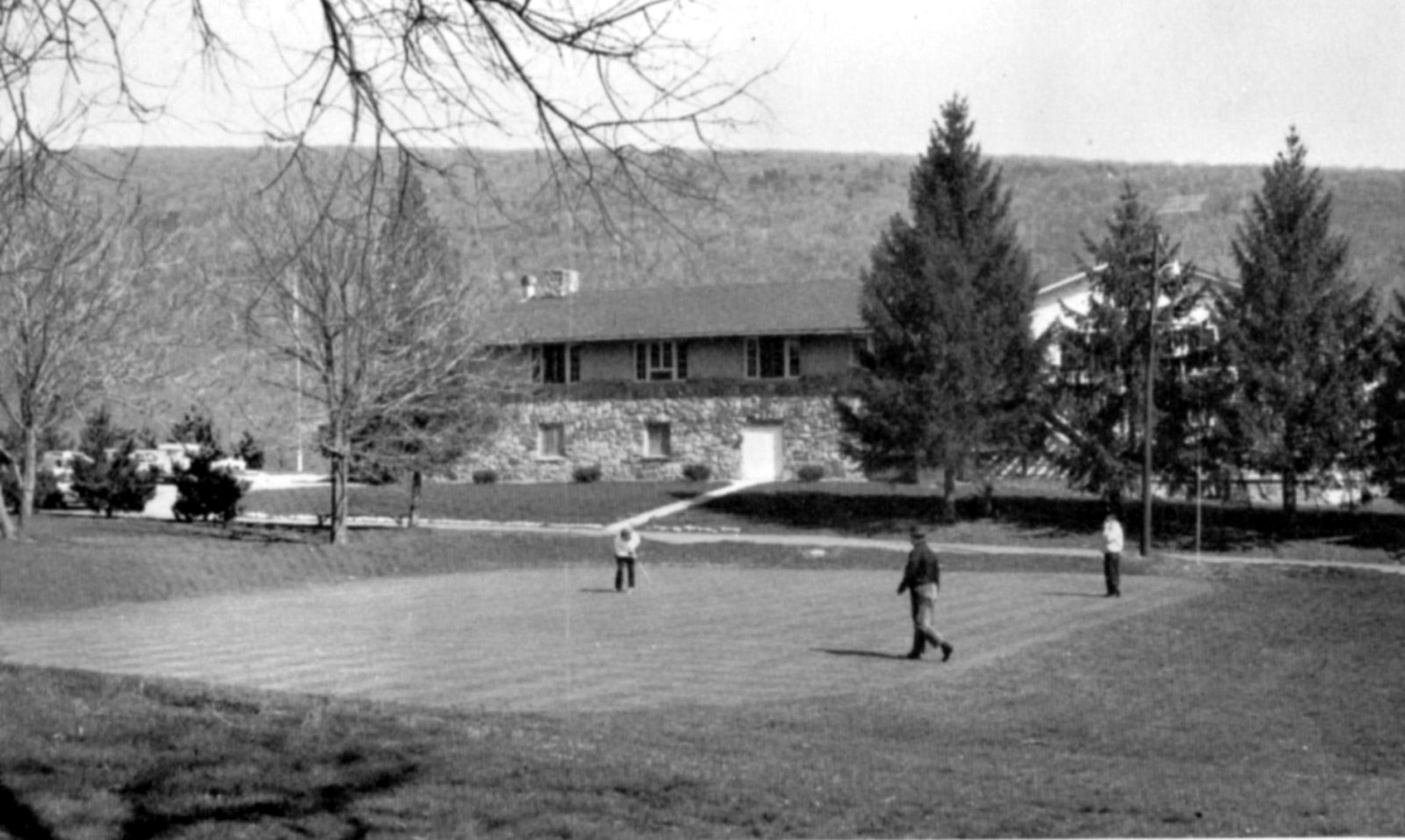
Before it was the PA Lions Beacon Lodge Camp, this hillside property along the Juniata River operated as a private golf and swimming club. Submitted family photographs (undated, but architecturally consistent with the late 1920s) show a clubhouse with a swimming pool and diving tower, tennis courts, and a golf course, plus a stone entrance gate reading “Juniata Valley Country Club — These grounds for use of club members and guests only, trespassing forbidden.” A period postcard confirms the name as “Juniata Valley Country Club, Mount Union, Pa.”
A Name That Shifted Over Time
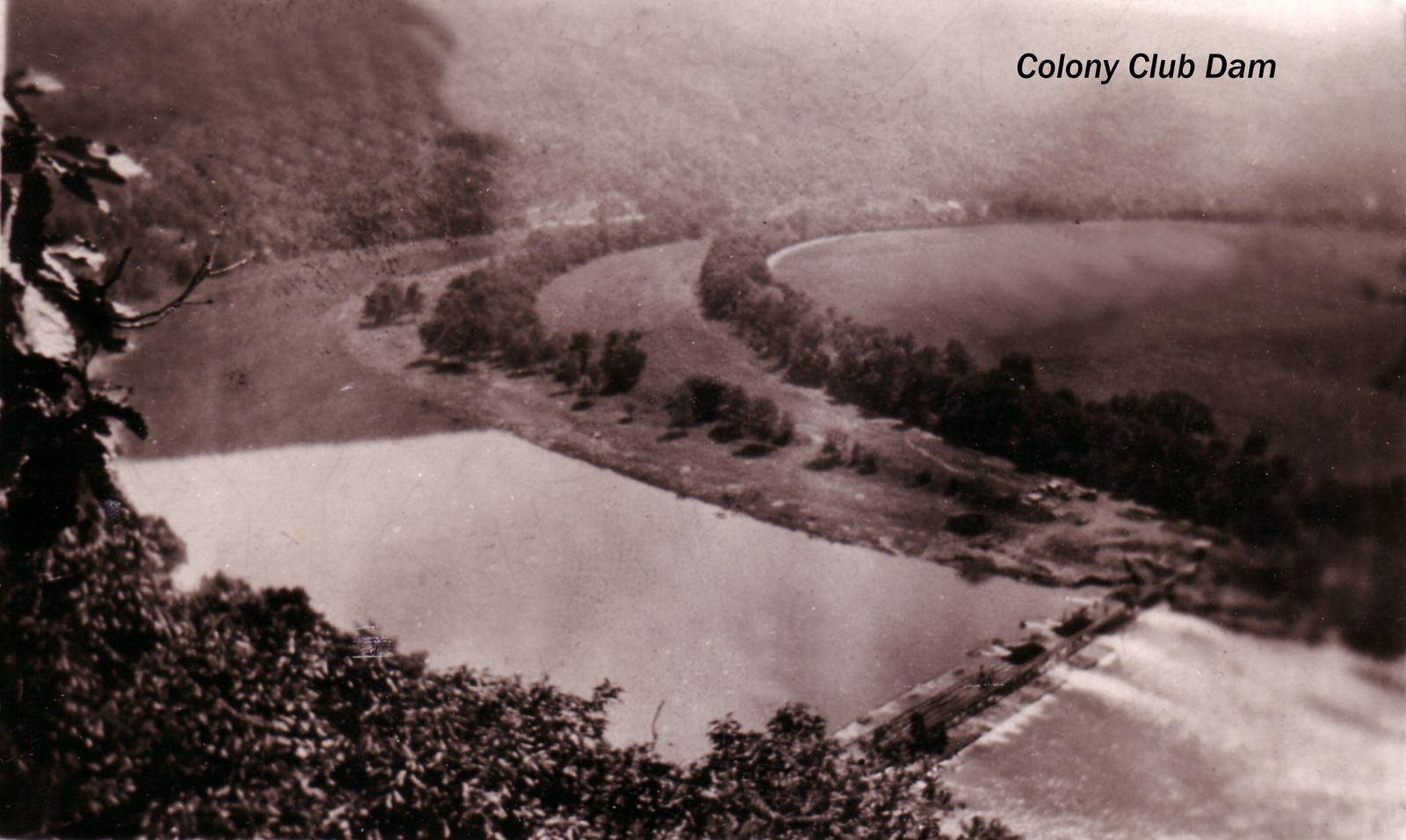
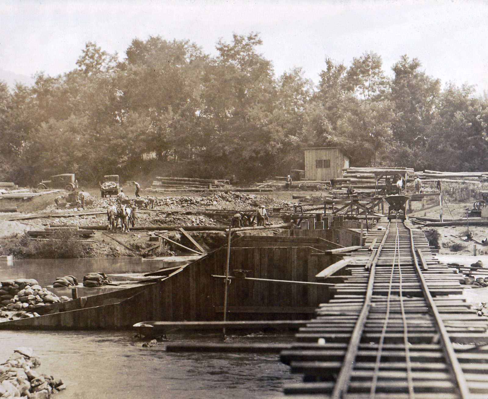
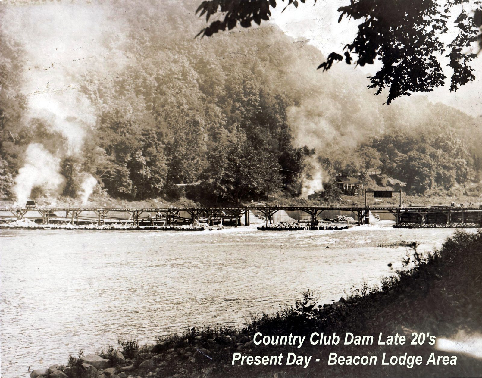
The photographs use two names for what appears to be the same property and the same river dam: several are labeled “Colony Club” (including “Colony Club Dam” and a construction photo of that dam, circa 1929), while others — including the stone entrance gate and a period postcard — read “Juniata Valley Country Club.” One photo of the same dam is separately labeled “Country Club Dam, late ’20s” with a note that its present-day location is “the Beacon Lodge area.” It isn't yet confirmed whether “Colony Club” and “Juniata Valley Country Club” were the same organization under two names, sequential names, or a mix-up between two related but distinct facilities on the same stretch of river — this is presented as an open question rather than a settled timeline. Today's American Legion Country Club, on Country Club Road, describes itself as “home to a century of Pennsylvania golf tradition,” consistent with (but not yet directly confirmed as) a continuation of this club's lineage.
Cross-Reference: Elinor Wible
Decorated amateur golfer Elinor Wible played out of the American Legion Country Club on this same site — see Golf, Track & More and Notable People.
Growth, Diversity & Hardship
The refractory boom reshaped who lived in Mount Union, not just what the town looked like.
Sources
- Frederick L. Richards, “Mount Union Historic District” (National Register of Historic Places nomination, 1994), National Park Service, Washington, D.C.